Mapping System
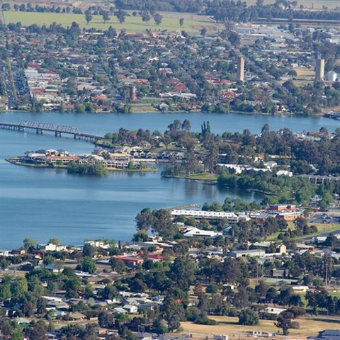
Welcome to the Federation Council public mapping system!
The system is a user friendly online information portal containing interactive mapping, spatial and business data for the general public.
Access interactive maps, details about services and facilities, planning and zoning information, parcels, underground assets, aerial imagery and explore local topographical information.
VIEW THE MAPPING SYSTEM