Council launches Intramaps
Published on 18 July 2018
This week, Council have launched the much anticipated new public mapping system, IntraMaps!
Intramaps is a user friendly online information portal containing interactive mapping, and spatial and business data for the general public.
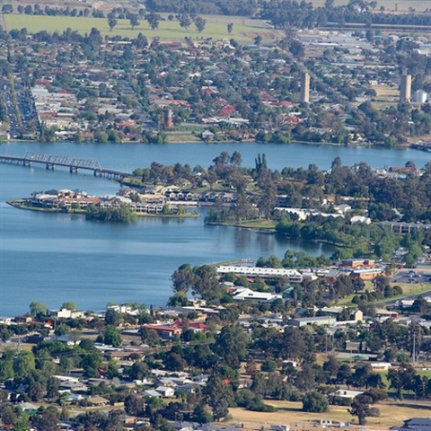
Residents can now access interactive maps, details about services and facilities, planning and zoning information, parcels, underground assets, aerial imagery and explore local topographical information. Search and query functions are also available.
Mayor Pat Bourke said the IntraMaps tool is a big step forward in technological capabilities for the community and will allow Council to provide essential information and timely updates to residents.
“Council is thrilled to announce the launch of the much anticipated public mapping system, IntraMaps this week on our corporate website,” Mayor Bourke said.
“This type of advancement in technology will be a great asset for our community who can now explore a wide variety of imagery, planning and zoning information and topographical information from the very comfort of their own home.
“This launch brings to fruition months of planning and detailed works completed by our Information Technology department and to say we are thrilled with the result is an understatement.”
Cemeteries will be another feature available to virtually discover in the near future.
Residents are being encouraged to explore IntraMaps today on Council’s corporate website.